
 Interspect
Three-Dimensional Spatial Data
Three-dimensional aerial and terrestrial surveys
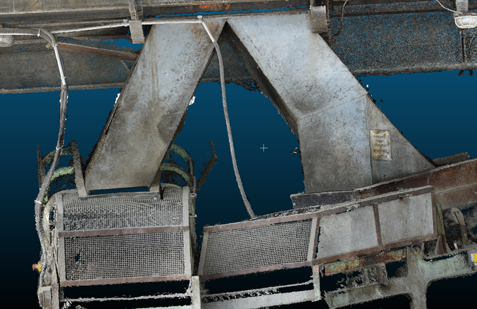
Cities, Riverbeds, and Forests in Three Dimensions
We generate colored three-dimensional point clouds of settlements, sites, properties, wastewater treatment plants, farms, and recreation parks, from which even LoD3 level 3D city vectors can be produced, which can be further extended to the LoD4 level via indoor surveying. We undertake the production of digital surface and terrain models using passive and active remote sensing methods, validated with ground-truthing. The method is always chosen to suit the given conditions. We render ground surfaces, landscape details, forest patches, buildings, caves, lake and river beds, larger equipment, and smaller objects in virtual space.
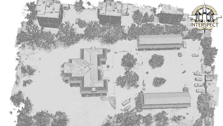
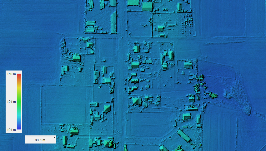
Photogrammetric Spatial Data Production
The high-precision imagery forming the basis of our orthophoto maps is captured using aircraft and metric camera systems specially modified for the task. For high-precision photogrammetric processing of the imagery, beyond direct georeferencing data, our surveyors collect ground control points (GCPs) on-site.
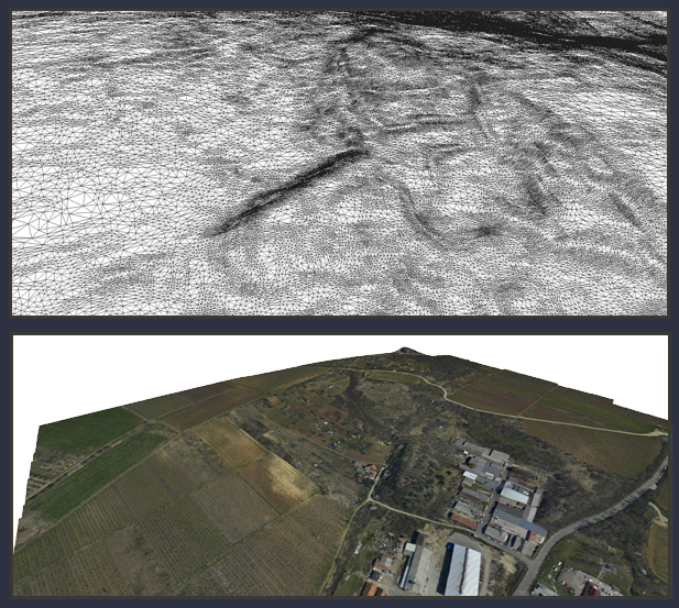
LiDAR and Laser Scanning
We also work with active remote sensing methods, deploying aerial and terrestrial laser scanning, as well as multispectral laser scanning when necessary.
Sonar
Echo sounding is another active remote sensing technology, which we apply for riverbed surveys.
Radar and Magnetometer
We apply geophysical methods for subsurface investigations. Ground-penetrating radar (GPR) uses electromagnetic waves to provide imagery of subsurface layers, cavities, pipelines, cables, and other objects. Magnetometer surveying measures minute variations in the magnetic field, making it primarily suitable for detecting and mapping iron and steel objects, metal pipes, unexploded ordnance, and other objects causing magnetic anomalies. In simpler cases, we also use mobile electromagnetic cable and pipe locators, electrical resistivity measurements, and drone-based thermal imaging to determine the approximate location of underground utilities.
Street View
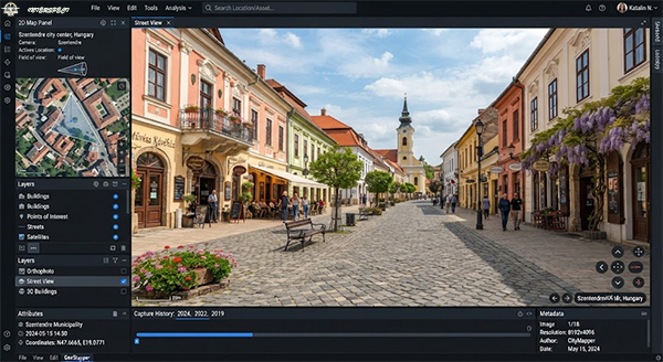
Our professional Street View solution offers virtual tours in both urban and rural areas. Precise spatial recording and optimized rendering provide a realistic online experience that can be integrated into digital map and web interfaces. Modern visual documentation is an efficient tool for the professional presentation of businesses, properties, and institutions.
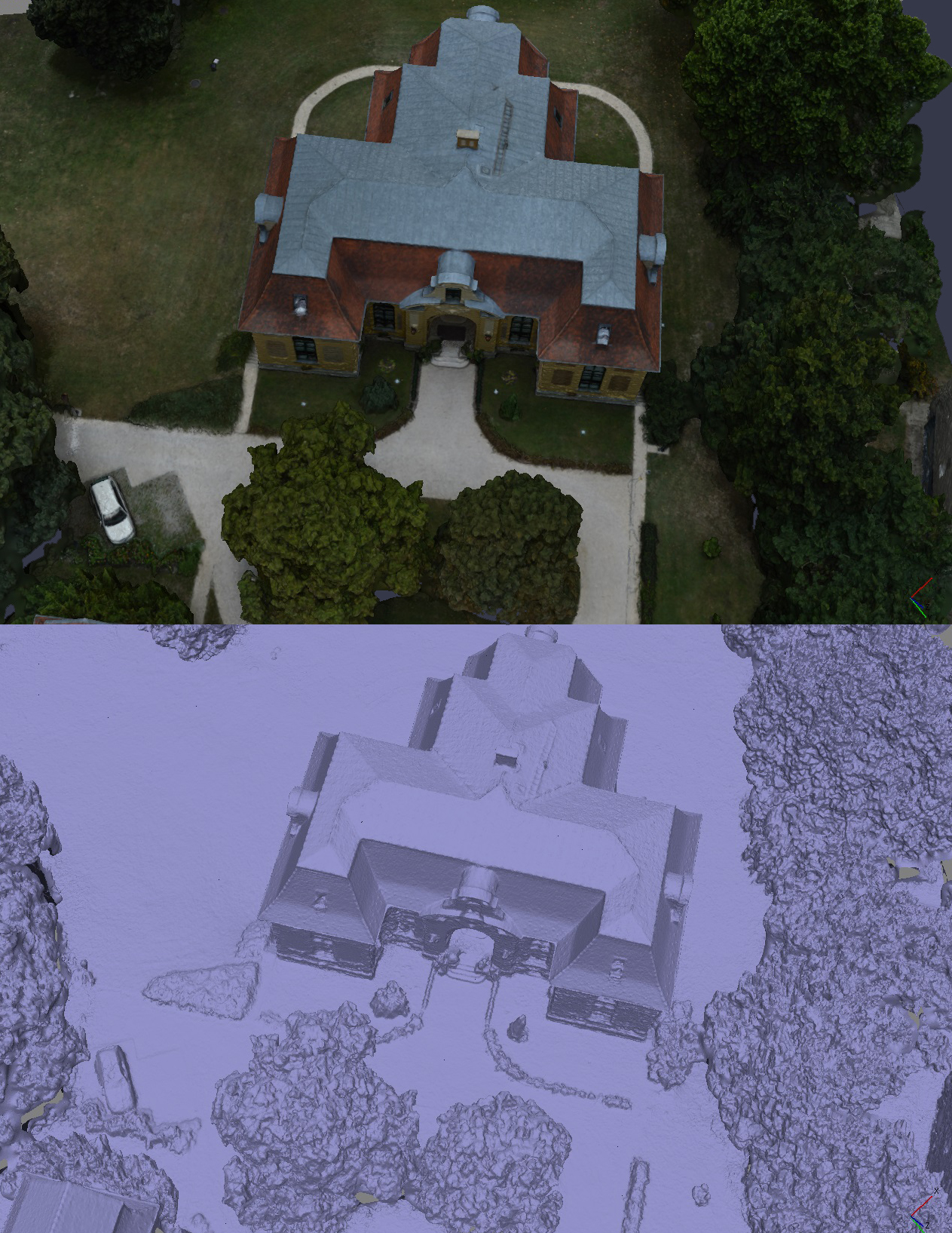
Photogrammetric Recording of Buildings and Structures
We produce high-detail surface models and textures using our aircraft and INTERSPECT UAS for documentation purposes.
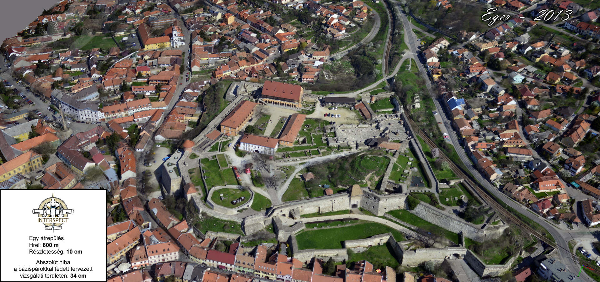
3D City
Alongside orthophotos with a 2–5 cm ground resolution, three-dimensional surface models of cities are also generated, helping to accelerate numerous design tasks and decision-making processes. Among other applications, highly accurate stormwater runoff models provide solutions for water management issues, and insolation simulations, wind tunnel analyses, and solar panel placement optimization can be performed.
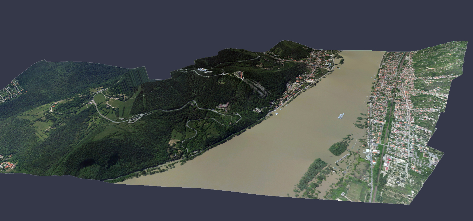
Flood and Excess Water Protection
Prevention is the foremost priority among disaster management tasks. Therefore, three-dimensional surveying of riverbeds, floodplains, and reclaimed areas at low water levels is of paramount importance for flood modeling. The models indicate which areas would be inundated first, how a given discharge wave would propagate, and where dikes and embankments need to be reinforced.
Knowing the terrain model and soil characteristics, excess water risk maps can be produced, which are useful not only for estimating damage events but also for planning agricultural management tailored to natural conditions.
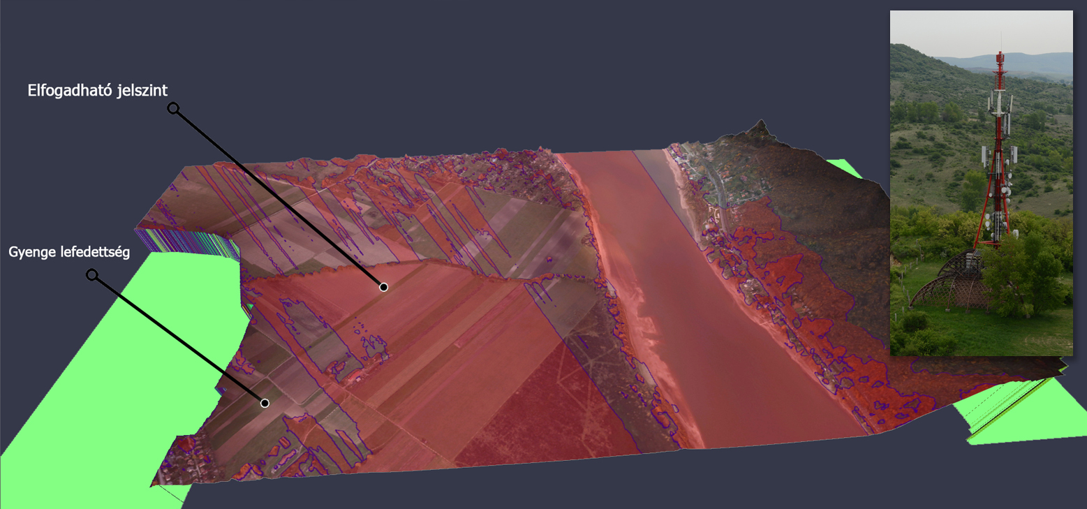
Optimal Planning of Telecommunication Base Towers
Cost-effective airborne photogrammetric surveys can produce spatial data that facilitate simulations, enabling optimal base station placement. Complex analysis of databases also allows for line-of-sight and subscriber-count analysis. However, the method is useful not only when installing a new tower. The installation of telecommunication towers requires optimization and preliminary simulations considering both cost and aesthetic aspects. It begins with a complex planning task that accounts for nature conservation, landscape, environmental, and return-on-investment criteria. Equipment deployment costs can be kept at a reasonable level by modeling the most suitable installation sites based on environmental characteristics, the number of consumers served within the coverage area, the preservation of landscape values, and potential property owner consents (obtained legally and at an acceptable cost).
Download Methodology Article (PDF)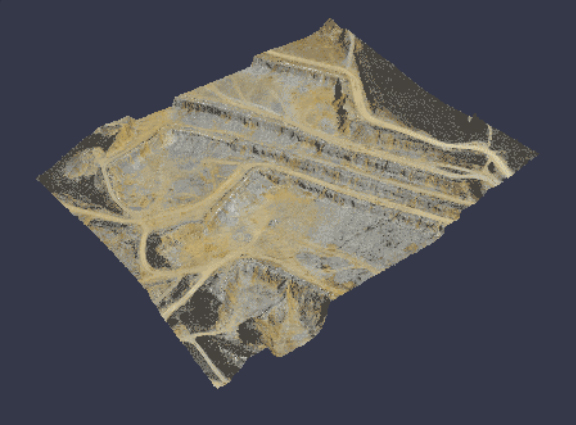
Surveying of Mines and Stockpiles
With our airborne oblique photogrammetric method, we can generate three-dimensional surface models for up to sixty smaller or 10–20 large-extent open-pit mines in a single day.
Discover Our Geodetic Services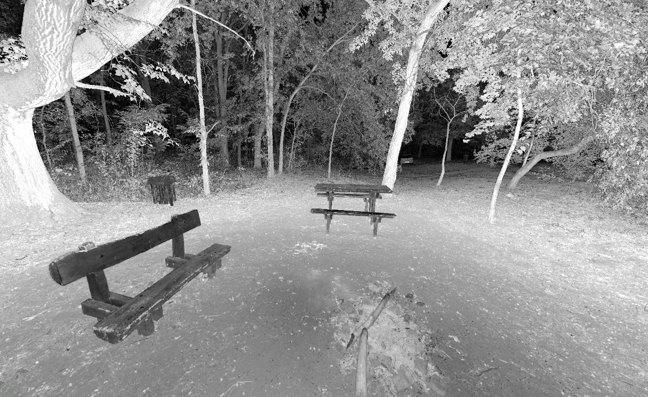
Laser Scanner Surveying of Forests and Parks
Upper canopy-level aerial forest surveys can be supplemented with terrestrial laser scanning, allowing a detailed point cloud to record vegetation structure and the condition of structures.
Tree Cadastre