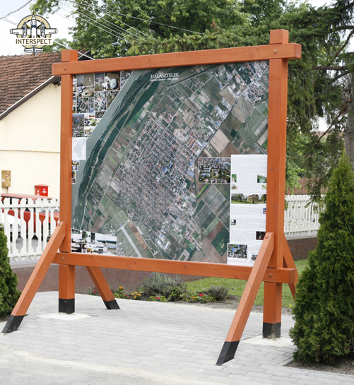
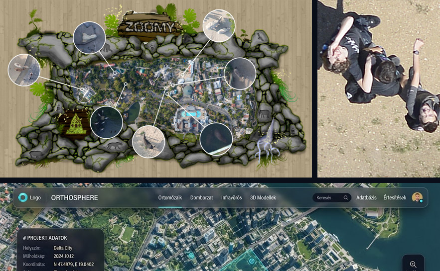
Reliable Geometry, Exceptional Information Content
Our orthophotos are produced through the spatial photogrammetric processing of digital metric camera aerial photographs with perpendicular camera axes, utilizing beam equalization. They combine the advantageous properties of geometrically accurate maps and detail-rich photographs. They preserve surface information from a given point in time, which can be evaluated using numerous methods and from a wide variety of analytical perspectives. When archived, they form a baseline for comparison and remain accessible for newly emerging investigation criteria in the future. They objectively reflect the surface condition corresponding to a specific point in time. Utilizing a technology unique in Hungary, we produce orthophoto mosaics with a spatial resolution of 0.5 – 20 cm/pixel over large areas using fixed-wing aircraft. Serving as a fundamental element of Geographic Information Systems (GIS), orthophotos document the actual state of nature at a given time and are updated at regular intervals. Repeated aerial photography enables the comparison of legal and physical conditions, change tracking, the analysis and registry of changes in buildings, mining lakes, and green areas, dataset comparison, the detection of illegal construction, and the compilation of public asset cadasters.
For more information on the evolution of domestic orthophoto applications, read the following article: Raster Overlays in Urban Geographic Information and Decision Support Systems – Experiences of Recent Municipal Orthophoto Surveys in Hungary, Gábor Bakó, Zsolt Molnár, and Eszter Góber – Tájökológiai lapok 12 (2): 285–305. (2014)
About the Workflow
During the planning of operations, we take into account the location of high objects to achieve perspective properties ideal for the task, calculate airspaces structure, acquire the necessary permits, and carry out the acquisition phase on the most suitable weather day and hours meeting the Client's requirements.
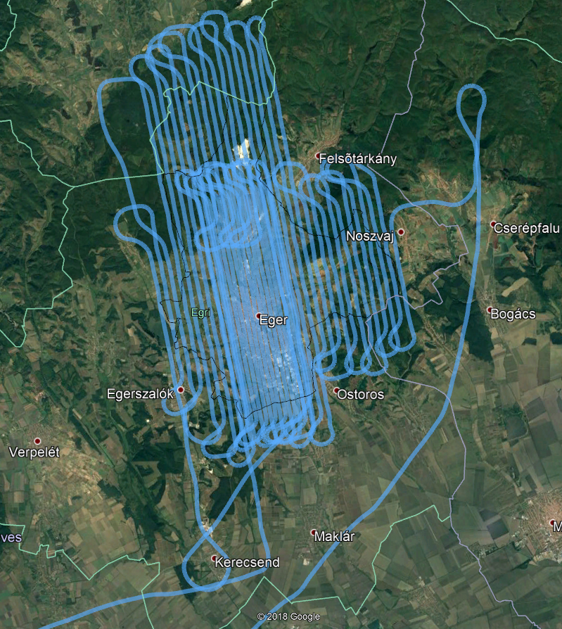 Precision flight path illustrated in Google Earth software
Precision flights are performed using our own or long-term leased fixed-wing aircraft, during which we deviate by an average of 5 meters from the planned flight lines. The figure above illustrates one of our recorded flight routes displayed on a low-resolution Google Earth imagery, which is geographically imprecise and varies in quality across space. The quality of base imagery is determined by numerous factors. Our company produces remote-sensed products based on the strictest requirement system.
The first step in producing orthophoto maps—an operation correcting the parametric distortions of the images—is made possible by the calibration of our metric cameras. This includes measuring lens and camera body distortions, spectral and geometric characteristics, and synchronizing the onboard navigation system.
The radical lens correction shown in the figure merely illustrates the essence of parametric restoration performed on every image.
Part of the task is to support the geographical alignment of the survey with terrestrial geodetic measurements alongside direct orientation data. Aerial image processing follows the acquisition of ground control points.
Orthorectification takes place together with parametric functions correcting tilt and perspective projections as well as compensating for relief distortions; the preparation for this phase represents the most attentive and time-consuming stage of post-processing. The reliability and speed of the photogrammetric process, executed via block-adjustment bundle block triangulation, are guaranteed by our exceptional computing capacities in this specialized field.
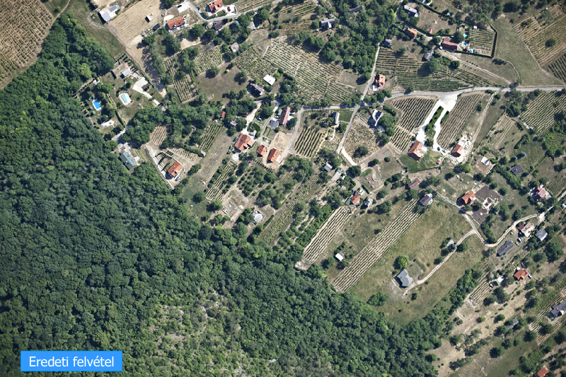
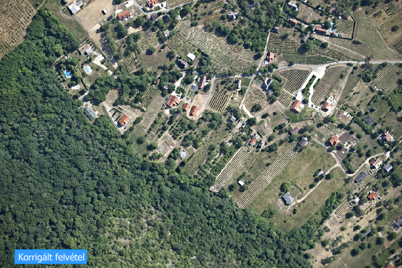
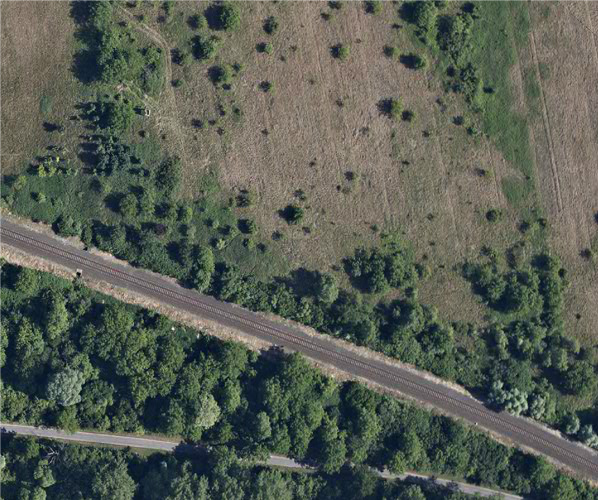
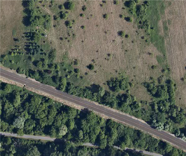
In the case of image pairs rectified with high precision using a digital elevation model, the spatial accuracy of the orthophoto can be interpreted on the surface.
As clearly observable in the figure, only the perspective of trees and pillars standing out above the ground surface differs between overlapping image pairs. This is a characteristic feature of an orthographic projection aerial photo map—meaning the orthophoto—and serves as the foundation for measurement reliability. A seamless mosaic with a uniform visual style, free of gaps and seamlines, is produced from the orthophotos, and the unified dataset is then delivered in the file format and tiling scheme matching the client's requirements. Generating a surface model of the highest quality permitted by image resolution and producing a manually harmonized, continuous-imagery orthophoto mosaic has been our trademark for nearly two decades. We have earned our leading position primarily through the productive production of high spatial resolution orthophotos covering large areas.
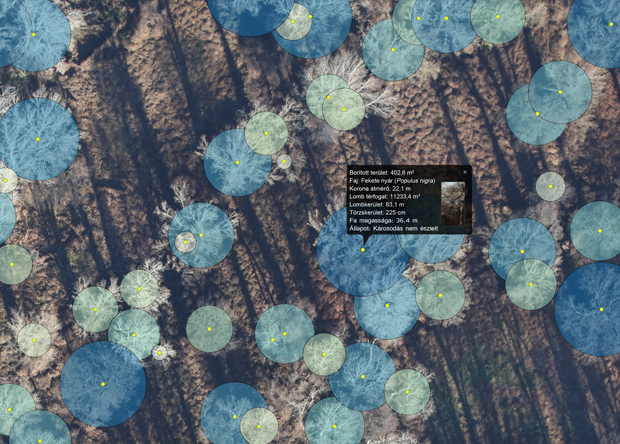
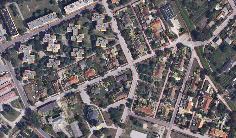 Our orthophoto maps form the basis of municipal and environmental information systems.
Urban Development on IT Foundations (Article by Gábor Bakó in the September 2018 issue of Új Magyar Közigazgatás (PDF))
Fields of Application for Orthophotos (Downloadable PDF version of the book titled Aerial Photography in Management and Public Services)

 Interspect